

 Mining
UAV Mapping & 3D Data
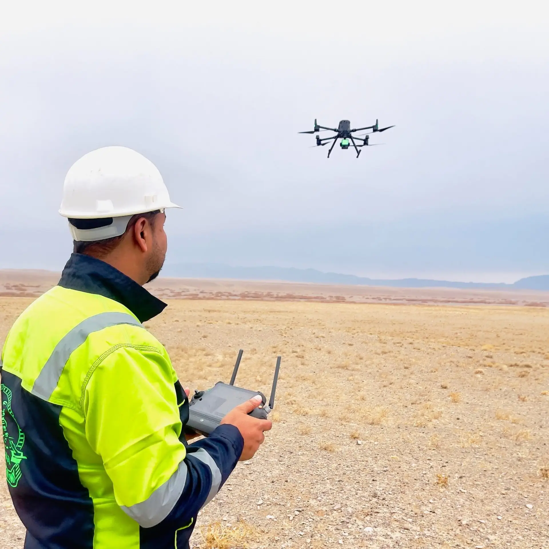
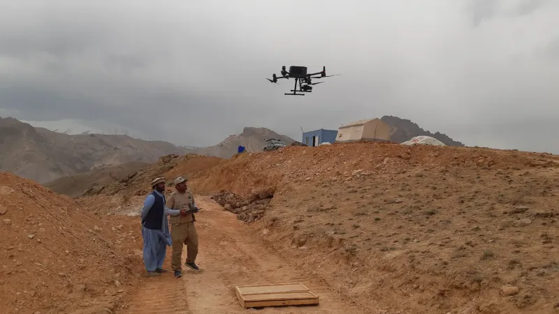
Drone photogrammetry and LiDAR mapping, orthomosaic production, DEM/DSM, point clouds, 3D models, contour generation and site monitoring.
What is included
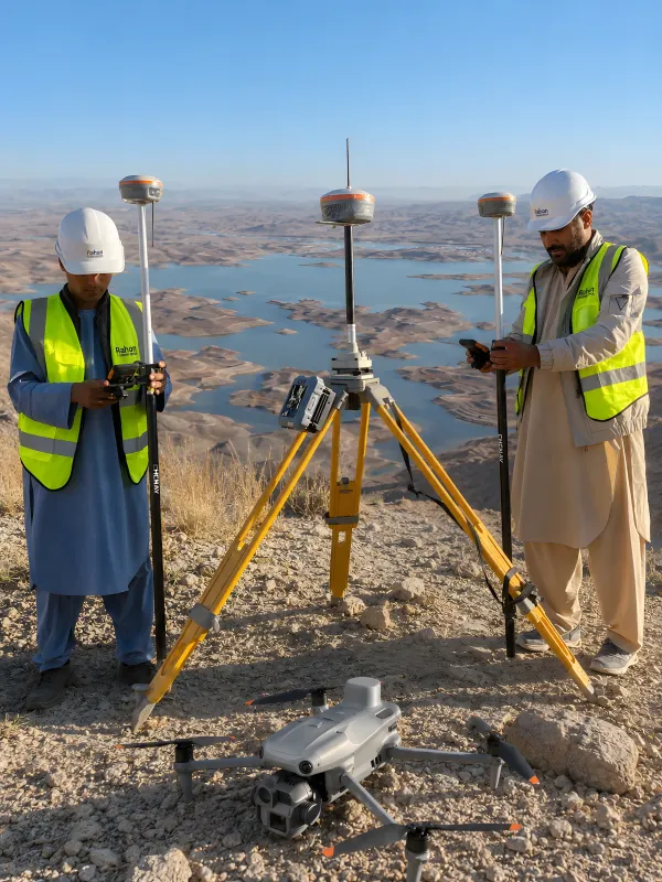
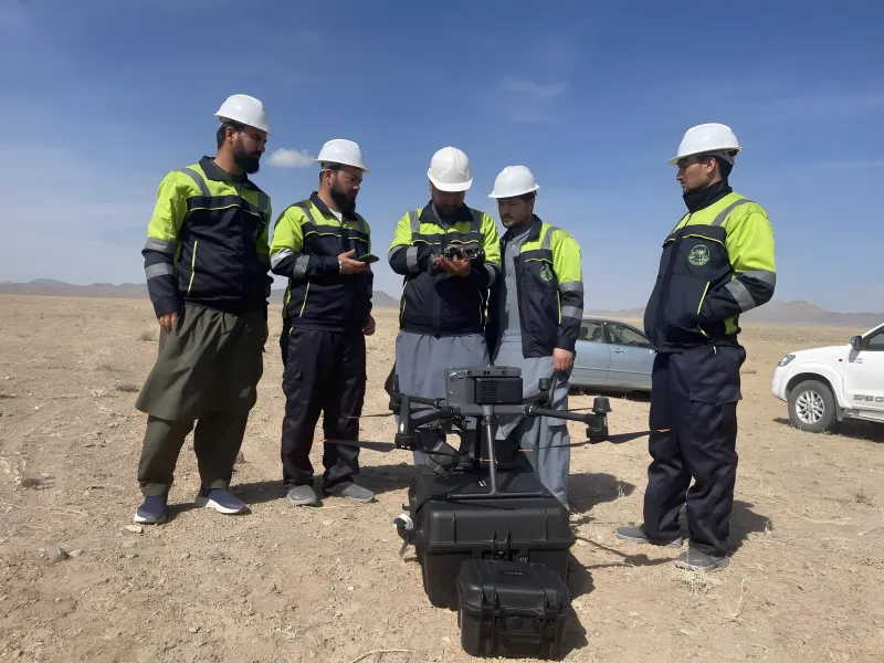
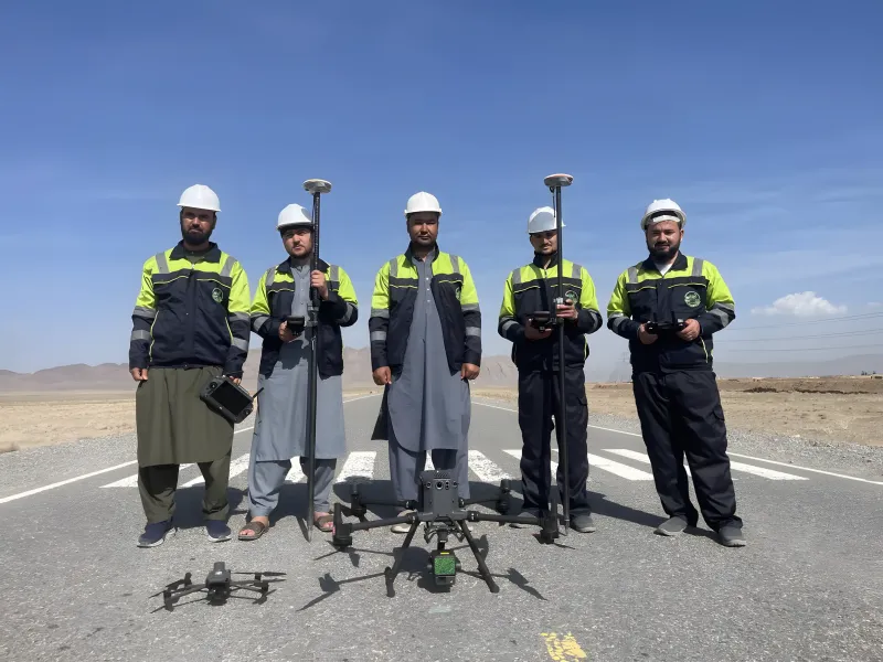
- Drone photogrammetry
- LiDAR mapping
- Orthomosaic production
- DEM/DSM
- Point clouds
- 3D models
- Contour generation
- Site monitoring
Typical deliverables
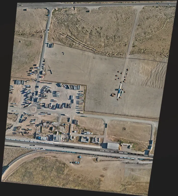
- Orthomosaics
- DEM/DTM/DSM
- Classified LiDAR point clouds
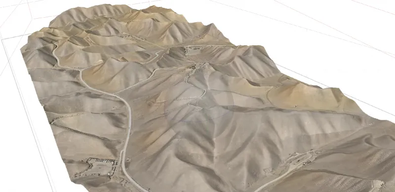
- 3D point clouds and surfaces
- Contour maps
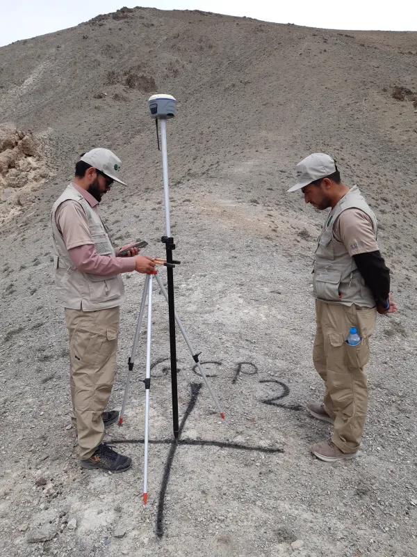
- GCP/check-point reports
Photos
Experience
Related projects
-
Mining
 Mining
 Railways
- Province
- Herat
- Year
- 2026
- Size
- 216 ha
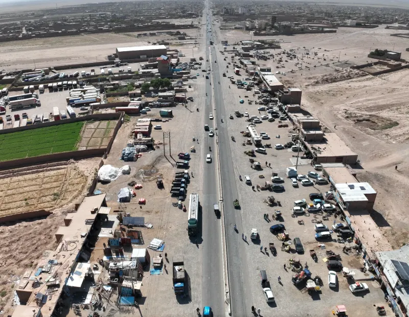
Rahzanak Station Area Survey – Herat–Khowaf Railway
View project Completed
 Roads
 Roads
 Mining
- Province
- Bamyan
- Year
- 2026
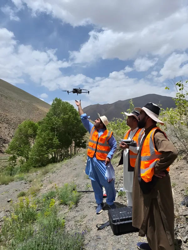
Guli–Palta–Chinar Lead & Zinc Mining Survey (Bamyan)
View project Completed
 Railways
 Railways
 Railways
 Mining
 Mining
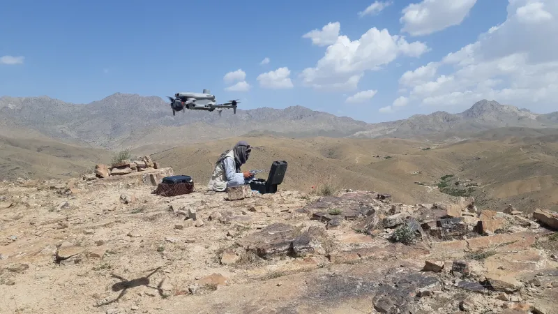 Mining
 Mining
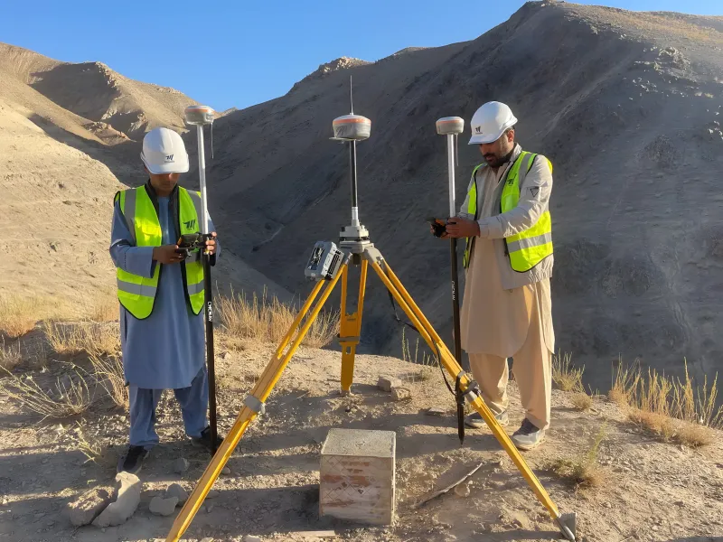 Mining
 Mining
Have a project? Request a quote.
Tell us about the site, the scope and the deliverables you need. Our engineers will review it and prepare a proposal.