

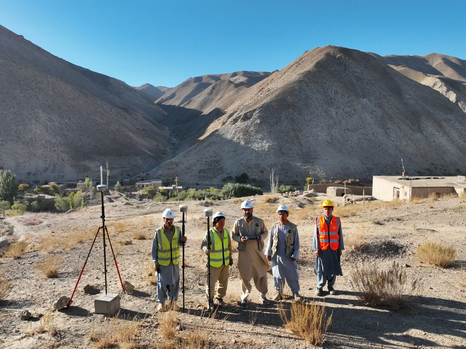
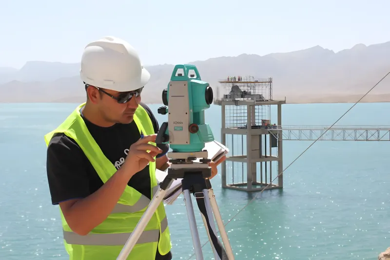
 Dams & Water
Survey · Design · Inspection
Survey, design and inspection across Afghanistan.
Accurate surveying, transportation infrastructure design, UAV mapping, GNSS control and technical project support.
Rahan in numbers
-
1,200+
km road surveys and design
-
800+
km² mining site surveys
-
24
projects
News & Updates
Latest updates
-
Dams & Water
-
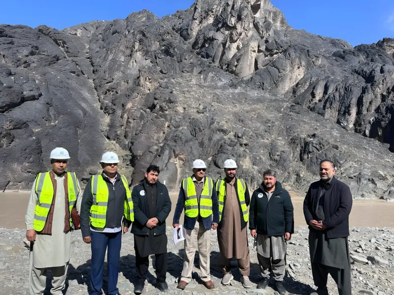 Dams & Water
-
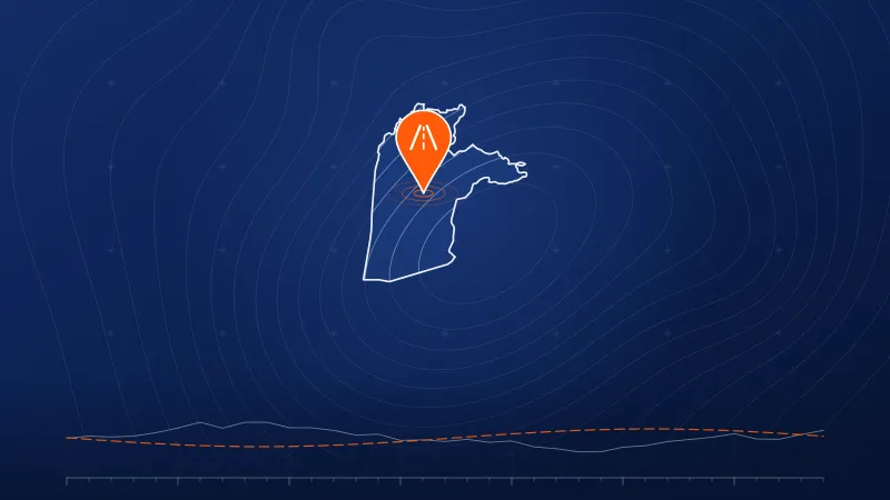 Roads
- Province
- Kandahar
- Year
- 2026
- Size
- 60 km
Survey and design of the second line of the Kandahar-Herat highway
View project Completed
-
 Mining
-
 Mining
-
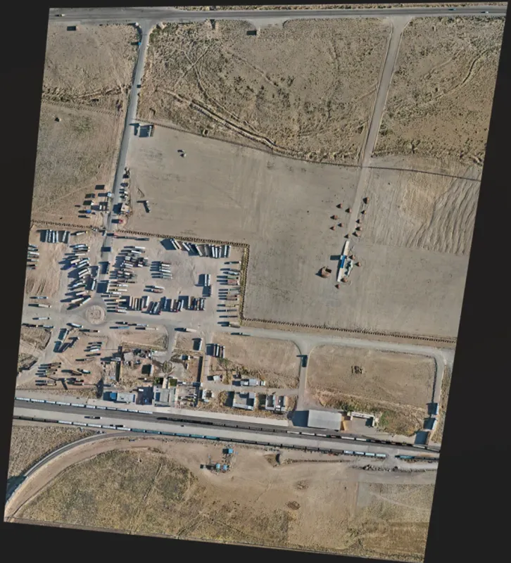 Railways
- Province
- Herat
- Year
- 2026
- Size
- 216 ha
Rahzanak Station Area Survey – Herat–Khowaf Railway
View project Completed
-
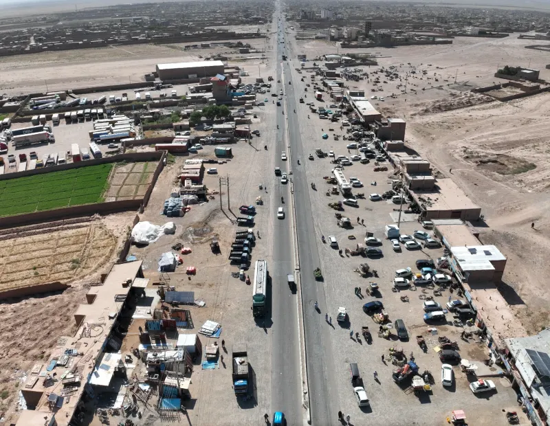 Roads
-
 Roads
-
 Roads
Experience
Our work in numbers
5
major dam projects
1,200+
km road surveys and design
300+
km railway corridors
800+
km² mining site surveys
90+
km² urban planning surveys
150+
MW solar power project surveys
50
MW wind turbine site survey
Who we are
We deliver survey and design solutions that help projects move from planning to construction with confidence.
Rahan Engineering Consulting Services Company is a professional engineering firm providing accurate surveying, transportation infrastructure design, UAV mapping, GNSS control and technical project support across Afghanistan.
Services
Nine services, one standard.
Delivering precision, innovation and excellence across engineering, surveying and geospatial solutions.
Engineering Surveying
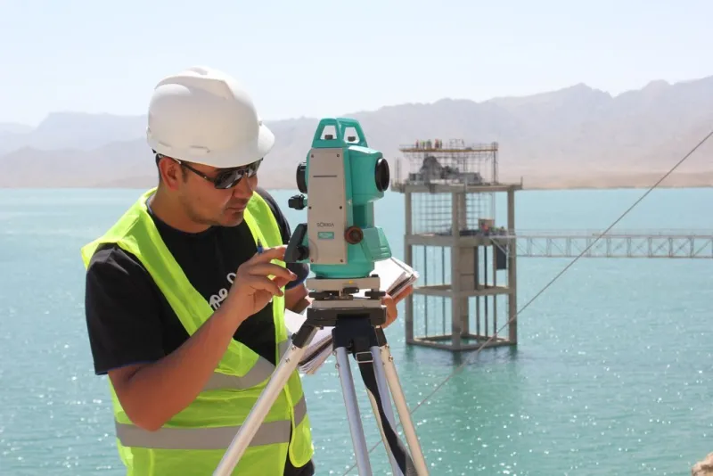
Topographic surveys, route surveys, construction setting-out, control networks, benchmark establishment, cross-sections, as-built surveys and verification surveys.
Learn more
GIS, CAD & Reporting
GIS mapping, CAD drafting, georeferenced maps, technical reports, quantity support, survey reports and deliverable packages for clients and authorities.
Learn more
Asphalt Inspection
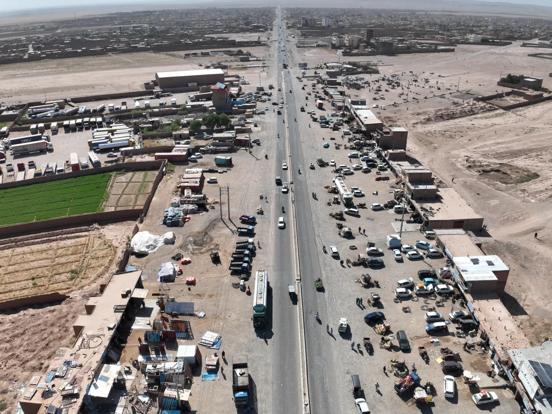
UAV-based asphalt condition surveys, crack detection, surface distress mapping, reporting and maintenance planning.
Learn more
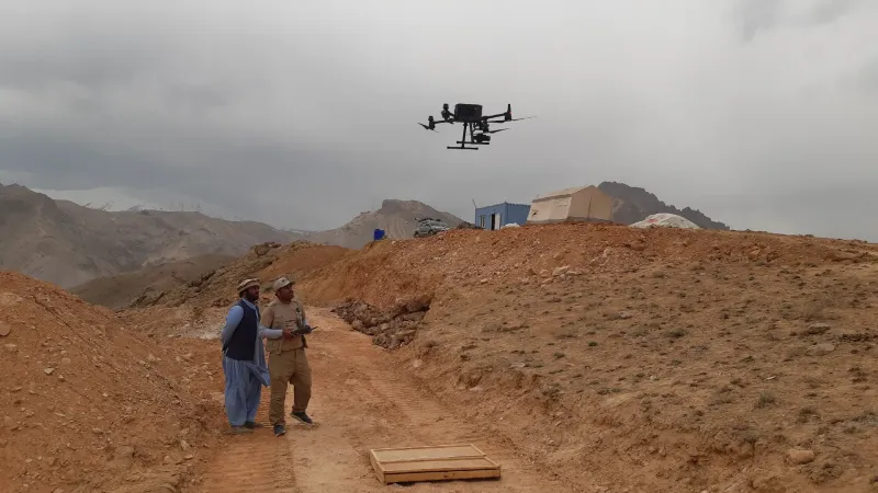
UAV Mapping & 3D Data
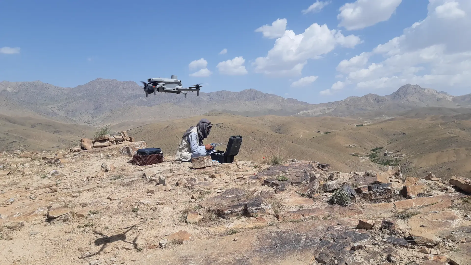
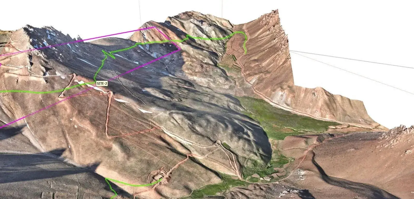
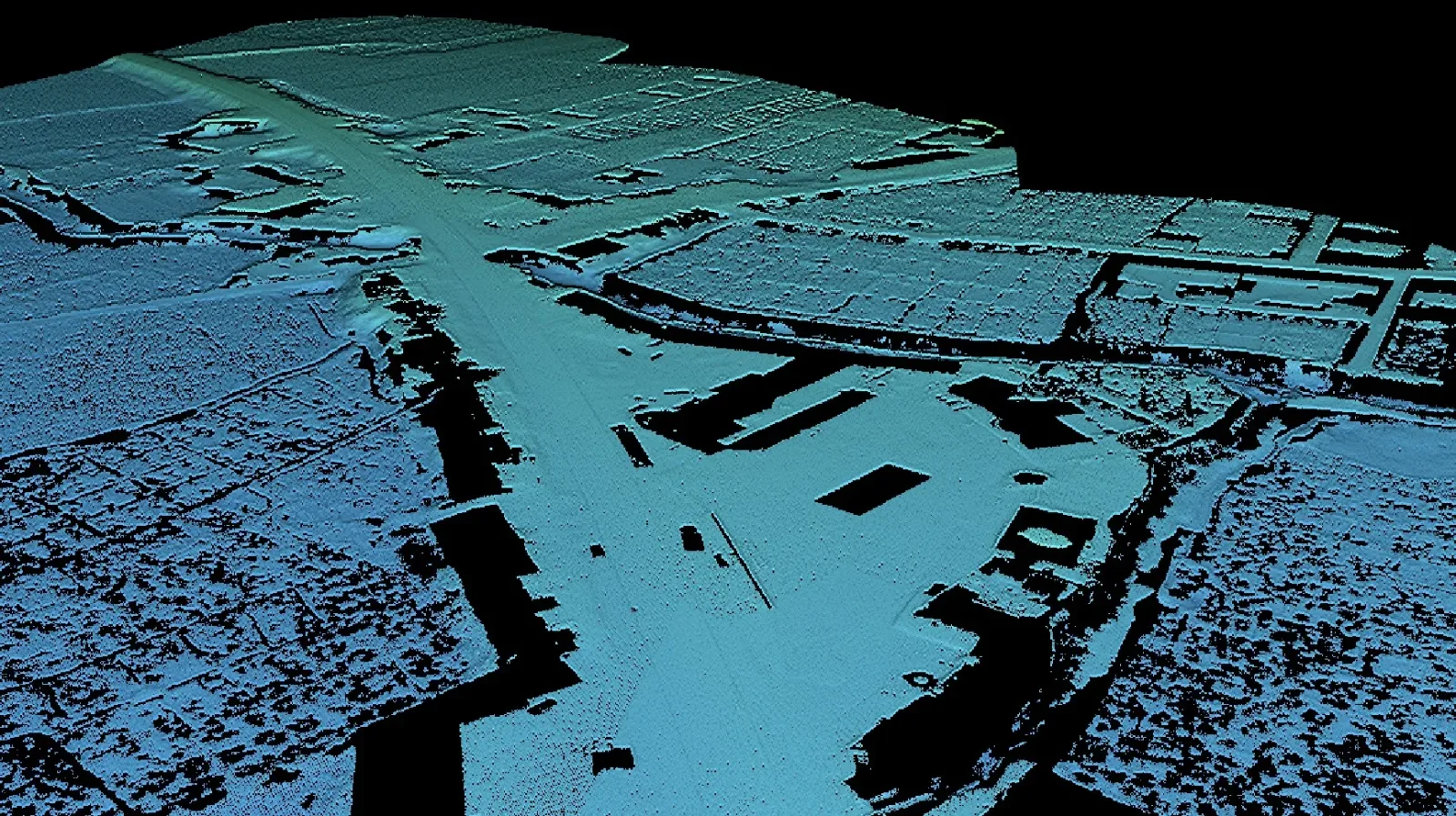
Drone photogrammetry and LiDAR mapping, orthomosaic production, DEM/DSM, point clouds, 3D models, contour generation and site monitoring.
Learn more
Mining Topography
High-accuracy topographic surveys for mining exploration and planning, stockpile volume calculation, terrain modelling and mine design support.
Learn more
Transportation Design
Road geometry, railway corridor support, plan/profile drawings, alignments, cross-sections, earthwork data, drainage coordination and CAD-based design documentation.
Learn more
Project Support & Consulting
Feasibility studies, route selection support, engineering consulting, QA/QC, project management support and technical advisory services.
Learn more
Bridge Drone Inspection
Detailed drone inspections for bridges and structures, visual condition assessment, crack mapping, 3D modelling and inspection reporting.
Learn more
Transmission Line
UAV inspection and mapping of transmission lines, tower condition assessment, corridor mapping, clearance verification and asset management support.
Learn more
Experience
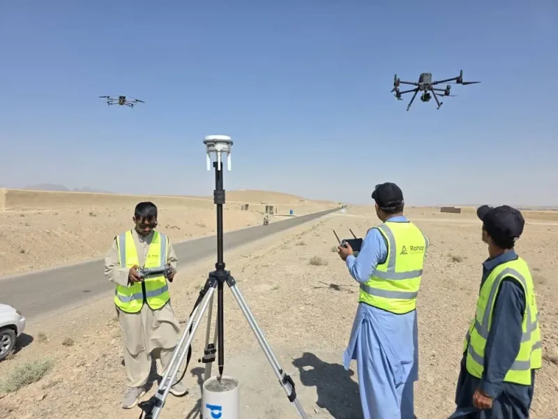
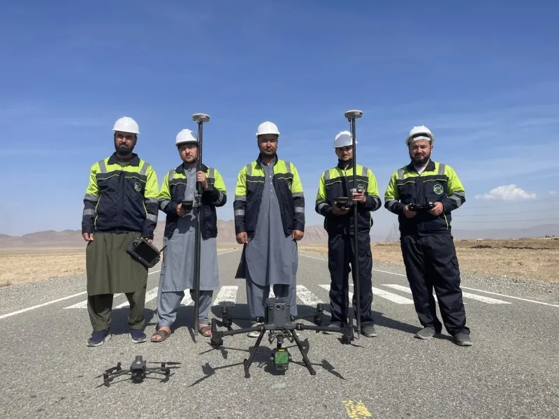
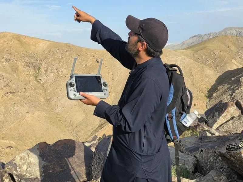
On site, across the country.
Reliable field execution across Afghanistan's most challenging project environments.
-
 5
Dams & Water
major dam projects
-
 1,200+
Roads
km road surveys and design
-
 300+
Railways
km railway corridors
-
 800+
Mining
km² mining site surveys
-
 90+
Urban Planning
km² urban planning surveys
-
 150+
Solar & Wind Energy
MW solar power project surveys
-
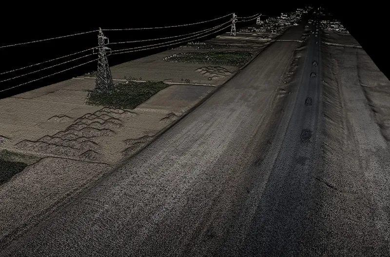 Transmission & Infrastructure
Many other minor infrastructure projects
How we work
From field data to final drawings, with one team.
Experienced engineers, modern survey technology and disciplined field-to-office workflows turn site measurements into project-ready results.
-
01
Field survey
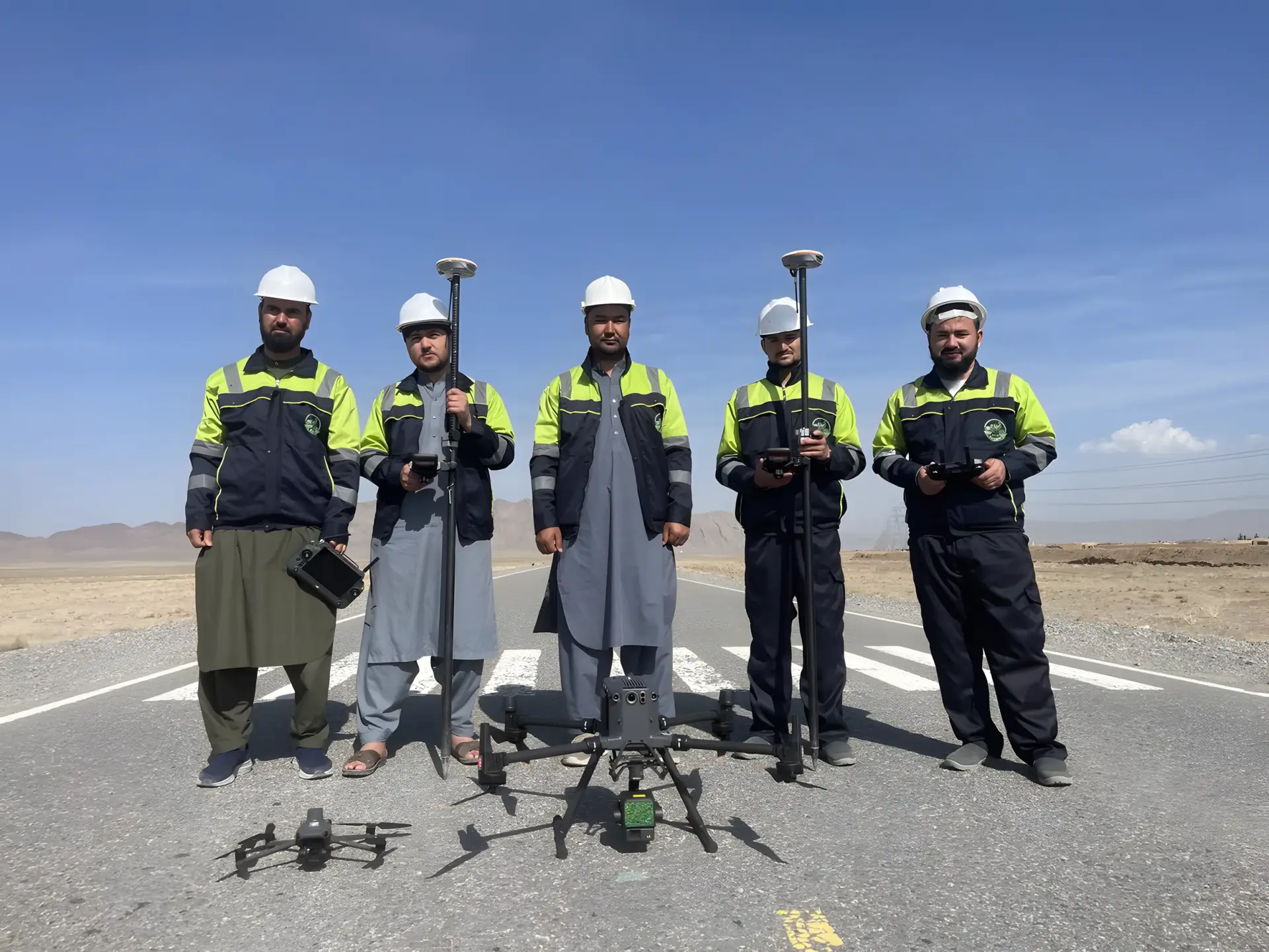
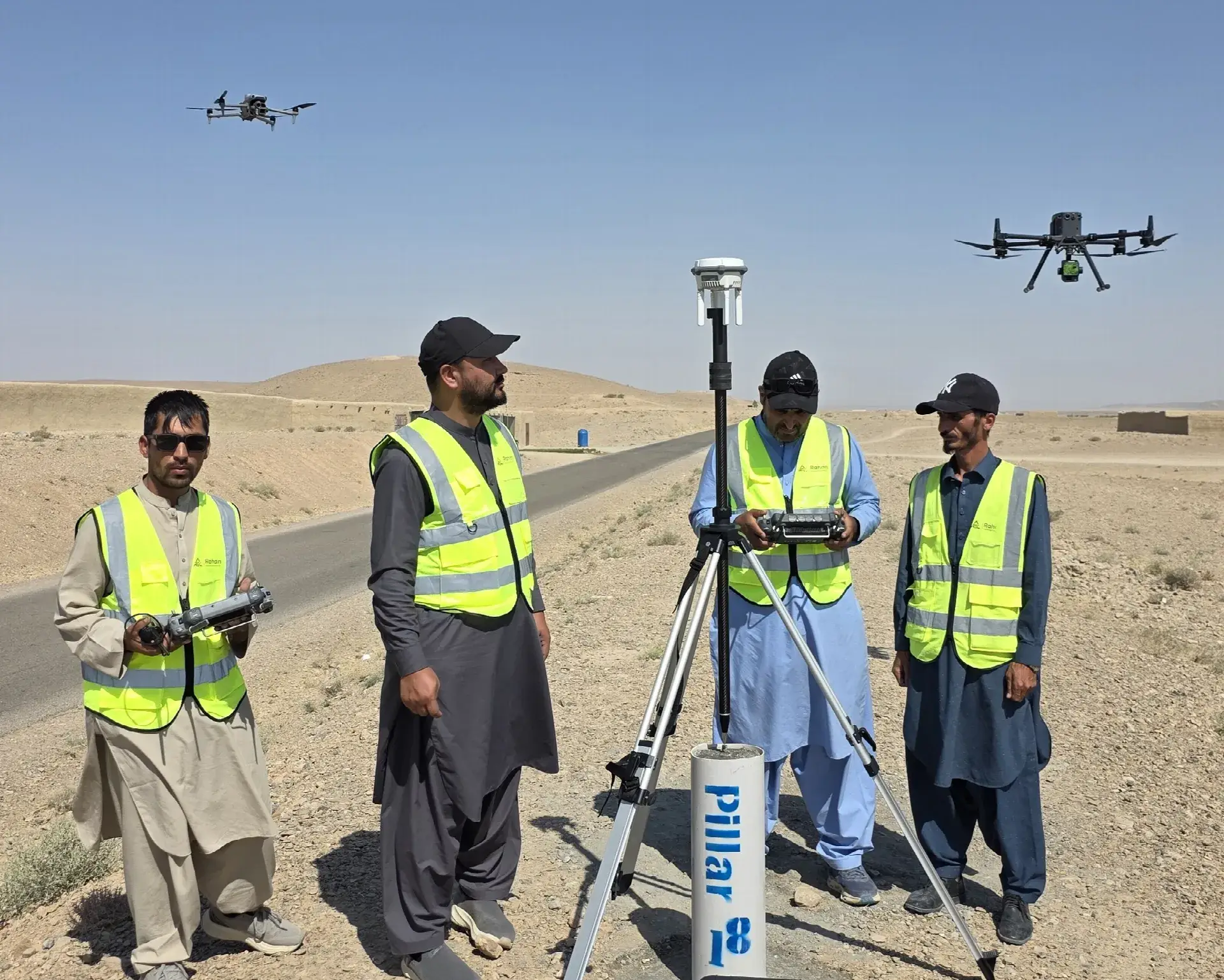
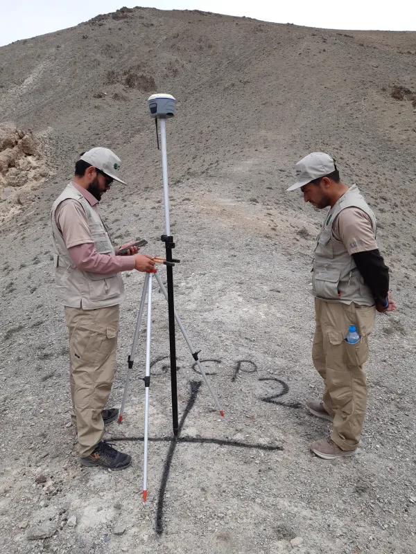
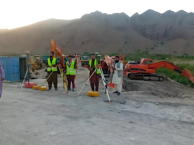
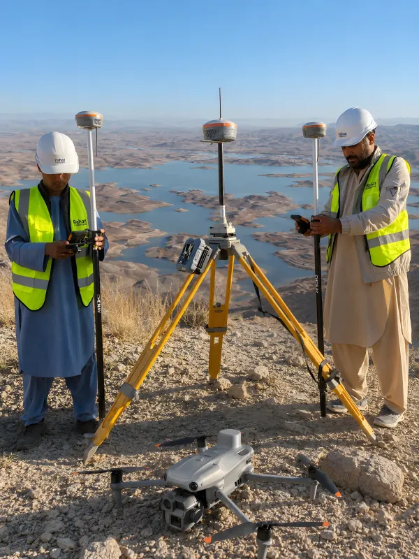
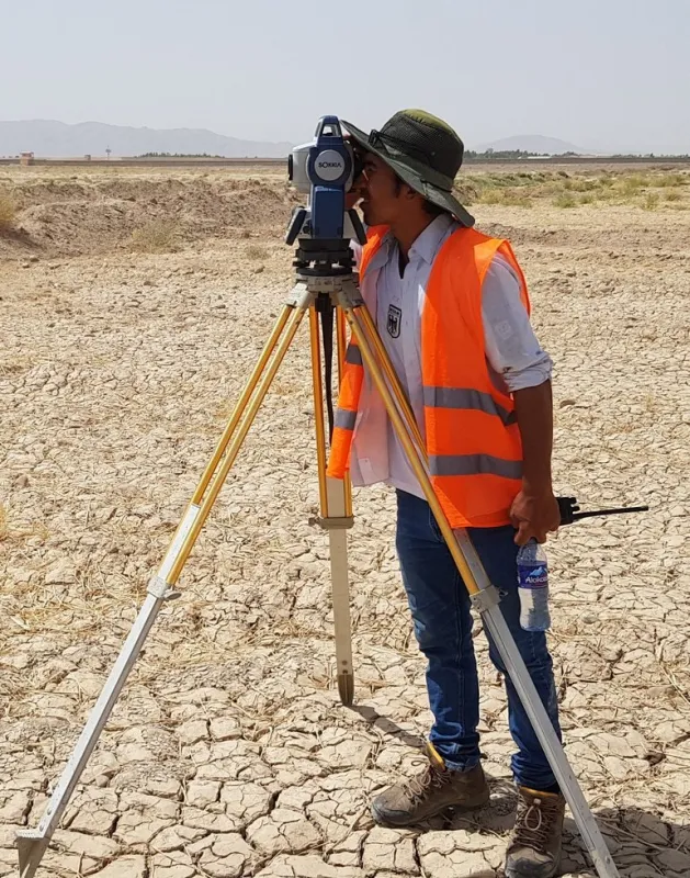
GNSS control, total station measurements and UAV / LiDAR data capture on site.
-
02
Data processing
Aerial images and LiDAR data processed into orthomosaics, point clouds, DSM / DEM and contours.
-
03
Engineering design
Alignments, plan / profile drawings, cross-sections and earthwork data.
-
04
Deliverables
Maps, CAD drawings, reports and drawing packages for review, approval and construction.
What we deliver
Clear outputs, ready for review, approval and construction.
-
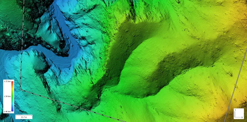
DEM / DSM
-
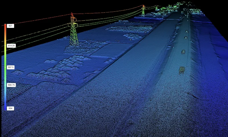
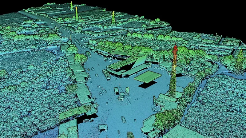
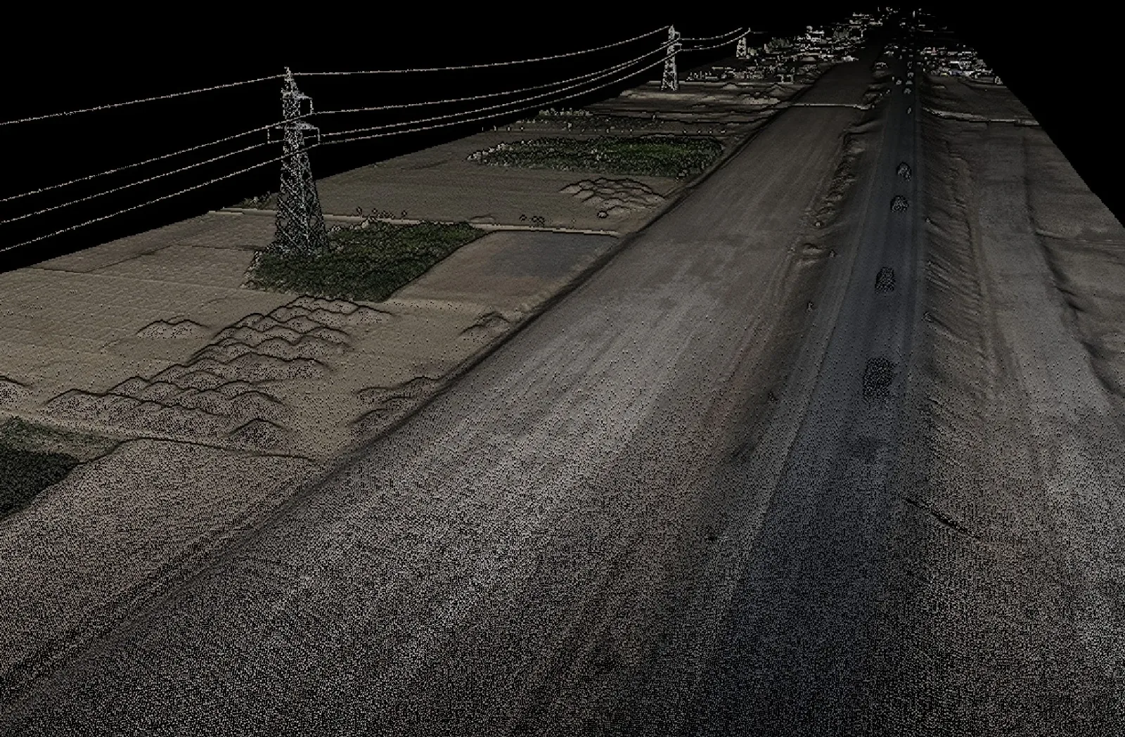
Point cloud
-
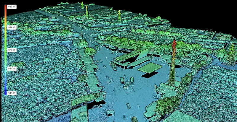
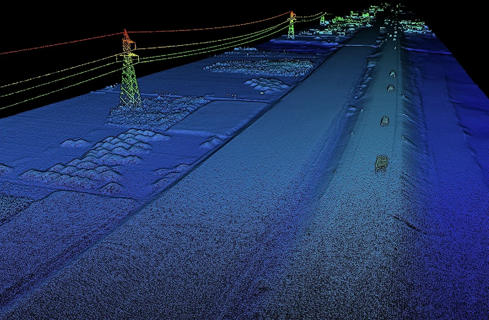
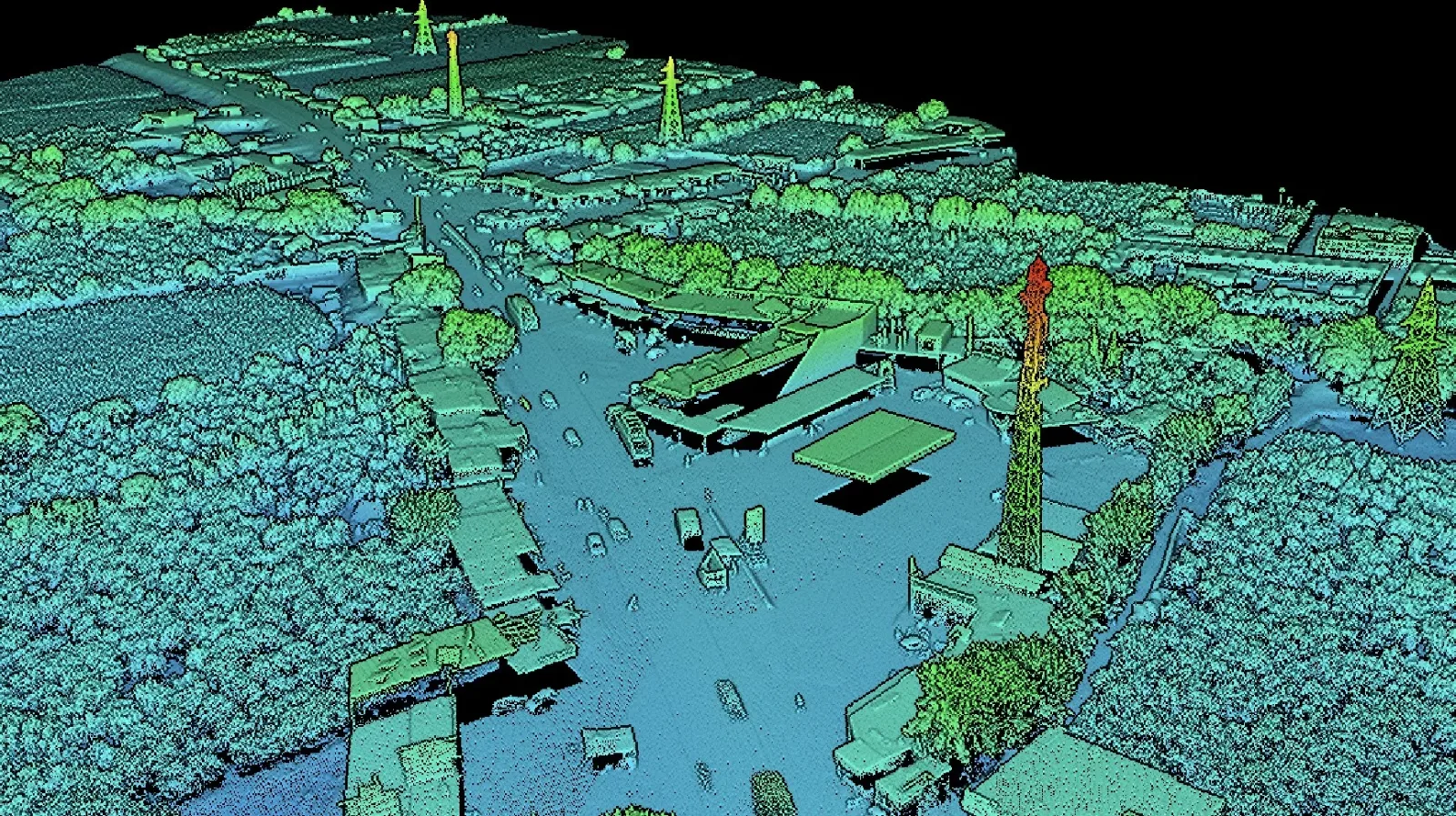
LiDAR point cloud of a built-up area, coloured by elevation
-
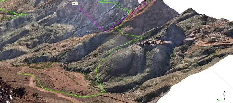
3D site model
Leadership
The people who lead our work
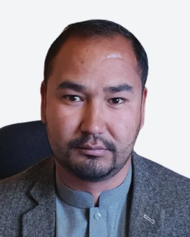
21+ years of experience
Management
Aq Muhammad Rasooli
General Director
Civil and survey engineer with over 21 years of experience on major infrastructure projects across Afghanistan — dams, irrigation, highways, railways, mining and urban development.
- Survey team leadership
- Geodetic control networks
- GNSS/DGPS surveying
View profile
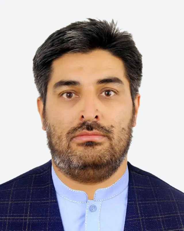
17+ years of experience
Surveying
M. Nazar Jalily
Survey Department Director
Civil and survey engineer with 17 years of experience in topographic surveying, GNSS/RTK control and terrain modelling for roads, railways, dams and mining sites.
- UAV surveying
- GNSS/RTK control
- Topographic mapping
View profile
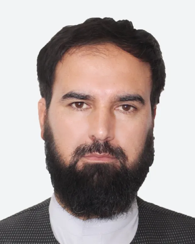
10+ years of experience
Design
Gul Ahmad Hushang
Design Department Director
Civil and transportation engineer with over 10 years of experience in the design and management of highways, railways, bridges and dams.
- Highway & railway geometric design
- Bridge & structural design
- Civil 3D
View profile
Equipment
Survey-grade instruments, in our own hands.
-
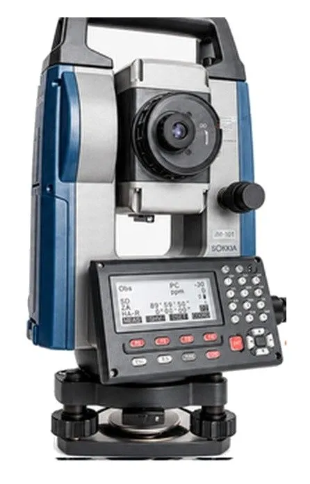
Total station
Sokkia iM-101
- Angle accuracy
- 1″ (1-second)
- Telescope
- 30x
- Compensation
- Dual-axis
-
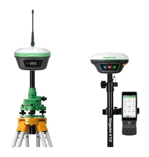
GNSS RTK system
SingularXYZ XBase
with Horus Laser & AR Vision Rover
-
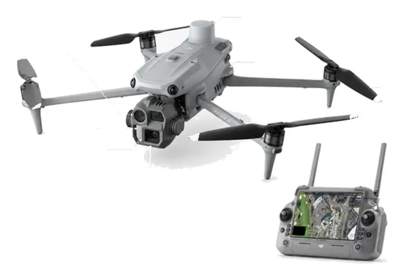
Mapping drone
DJI Matrice 4E RTK
- Sensor
- 4/3 CMOS, 20 MP
- Zoom camera
- 48 MP
- Flight time
- 49 min
-
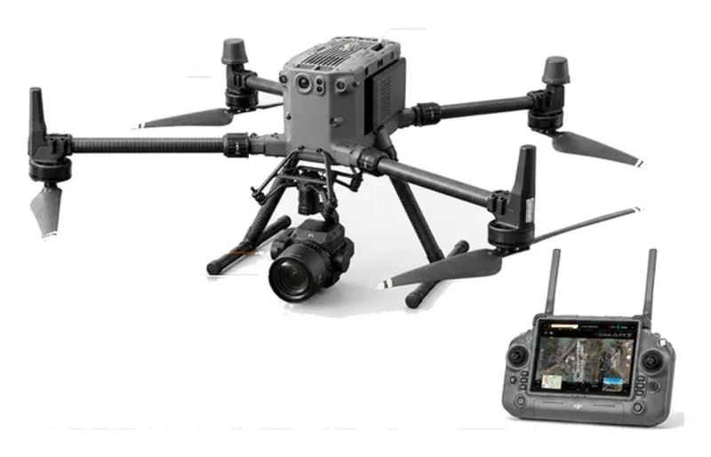
Photogrammetry system
DJI Matrice 350 RTK
with Zenmuse P1
- Camera
- 45 MP full-frame
- Lens
- 35 mm
-
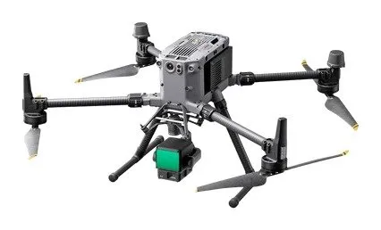
LiDAR system
DJI Matrice 350 RTK
with Zenmuse L2
- Point cloud rate
- 240,000 pts/s
- Detection range
- up to 450 m
- Returns
- up to 5
-
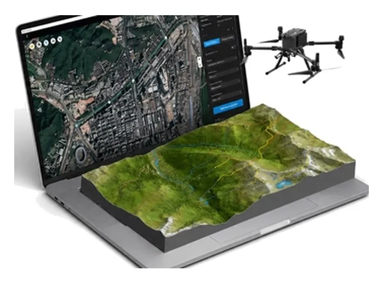
Processing software
DJI Terra
mapping software
Clients & partners
Organisations we work with


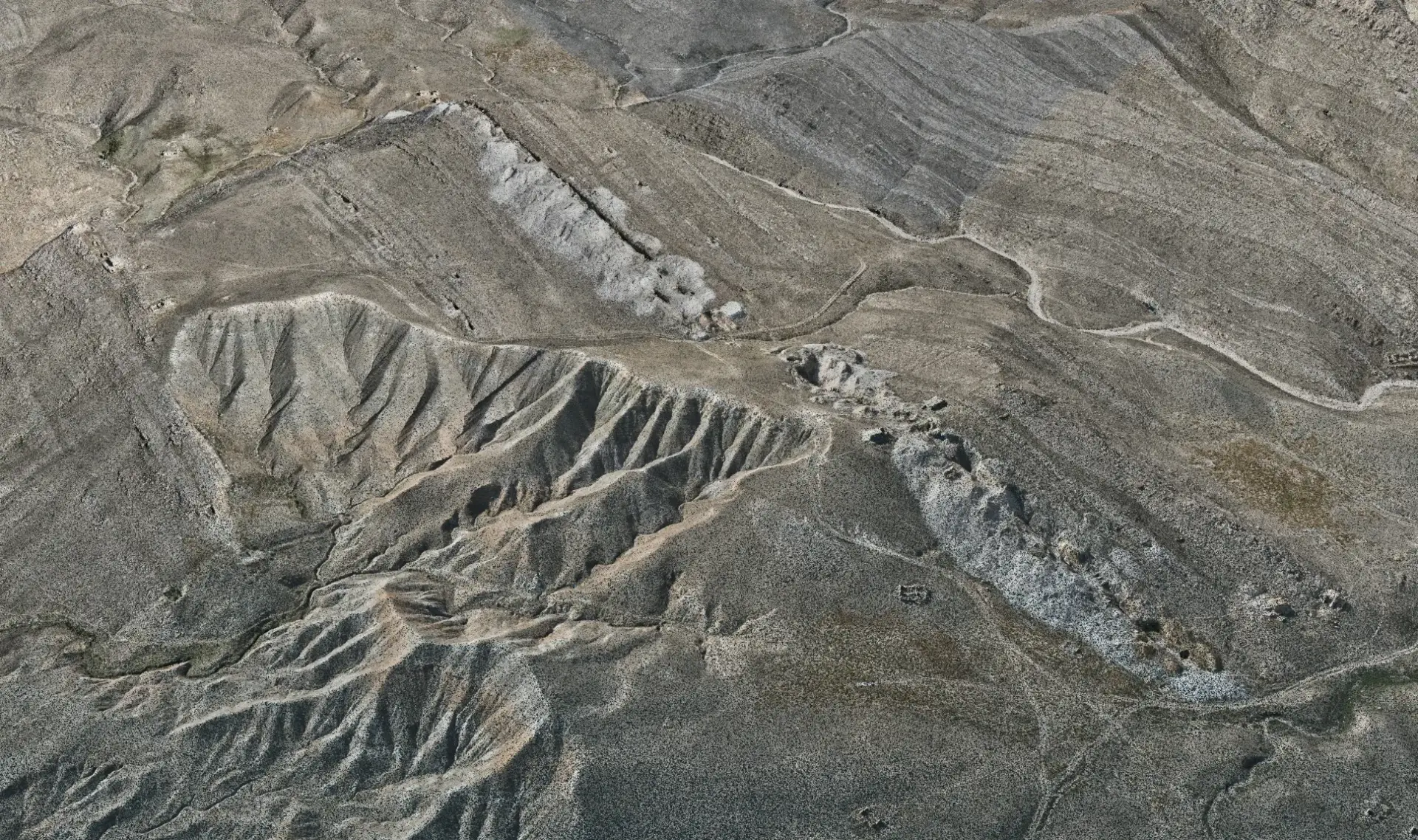
Have a project? Request a quote.
Tell us about the site, the scope and the deliverables you need. Our engineers will review it and prepare a proposal.