

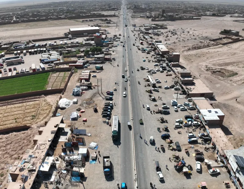
 Roads
GIS, CAD & Reporting
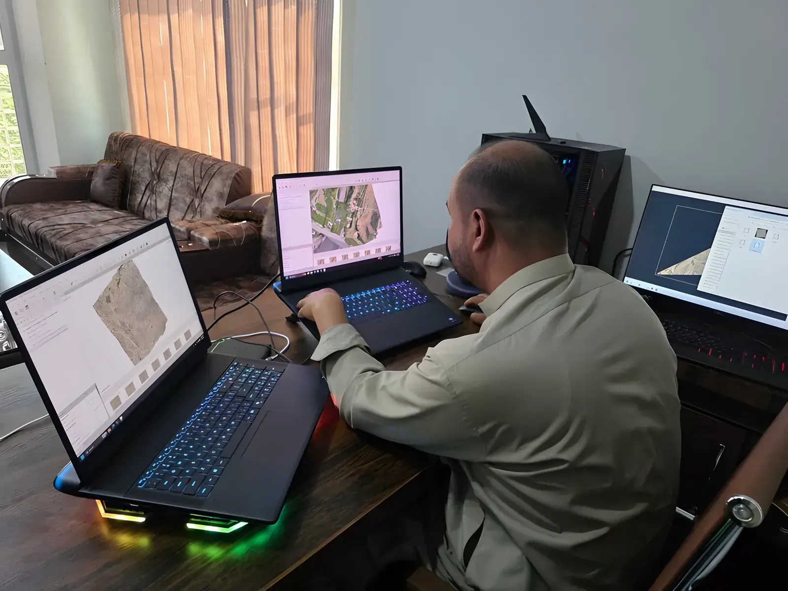
GIS mapping, CAD drafting, georeferenced maps, technical reports, quantity support, survey reports and deliverable packages for clients and authorities.
What is included
- GIS mapping
- CAD drafting
- Georeferenced maps
- Technical reports
- Quantity support
- Survey reports
- Deliverable packages for clients and authorities
Typical deliverables
- CAD/GIS data
- Contour maps
- Topographic plans
- Technical survey reports
Experience
Related projects
-
Roads
Have a project? Request a quote.
Tell us about the site, the scope and the deliverables you need. Our engineers will review it and prepare a proposal.