

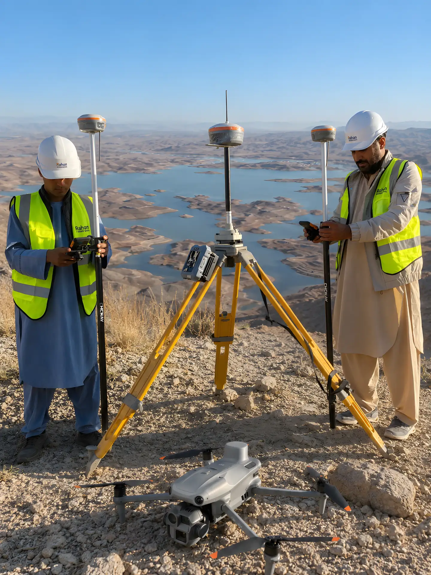
Survey-grade instruments, in our own hands.
The total station, GNSS system, drones and processing software our teams use in the field and in the office.
Total station
Sokkia iM-101
Professional manual total station used for topographic survey, control points, construction layout, as-built survey and engineering field measurements.
| Angle accuracy | 1″ (1-second) |
|---|---|
| Telescope | 30x |
| Compensation | Dual-axis |
| Reflectorless range | up to 800 m |
| Prism range | up to 5,000 m |
Applications
- Topographic survey
- Control points
- Construction layout
- As-built survey
- Engineering field measurements
GNSS RTK system
SingularXYZ XBase
with Horus Laser & AR Vision Rover
Advanced GNSS survey system for high-accuracy topographic survey, control point establishment, construction layout, hard-to-reach point measurement and fast field verification.
Key features
- Integrated RTK base station
- Laser measurement
- AR visual staking
Applications
- High-accuracy topographic survey
- Control point establishment
- Construction layout
- Hard-to-reach point measurement
- Fast field verification
Mapping drone
DJI Matrice 4E RTK
RTK mapping drone with high-accuracy mapping capability.
| Sensor | 4/3 CMOS, 20 MP |
|---|---|
| Zoom camera | 48 MP |
| Flight time | 49 min |
Key features
- Mechanical shutter
- Laser rangefinder
Applications
- High-accuracy mapping
Photogrammetry system
DJI Matrice 350 RTK
with Zenmuse P1
Professional RTK aerial mapping system for high-accuracy photogrammetry, large-area topographic survey, corridor mapping and engineering project documentation.
| Camera | 45 MP full-frame |
|---|---|
| Lens | 35 mm |
Key features
- Global mechanical shutter
Applications
- High-accuracy photogrammetry
- Large-area topographic survey
- Corridor mapping
- Engineering project documentation
LiDAR system
DJI Matrice 350 RTK
with Zenmuse L2
Professional RTK LiDAR mapping system for high-accuracy LiDAR survey, topographic mapping, corridor mapping, powerline survey and 3D terrain modelling.
| Point cloud rate | 240,000 pts/s |
|---|---|
| Detection range | up to 450 m |
| Returns | up to 5 |
Applications
- High-accuracy LiDAR survey
- Topographic mapping
- Corridor mapping
- Powerline survey
- 3D terrain modelling
Processing software
DJI Terra
mapping software
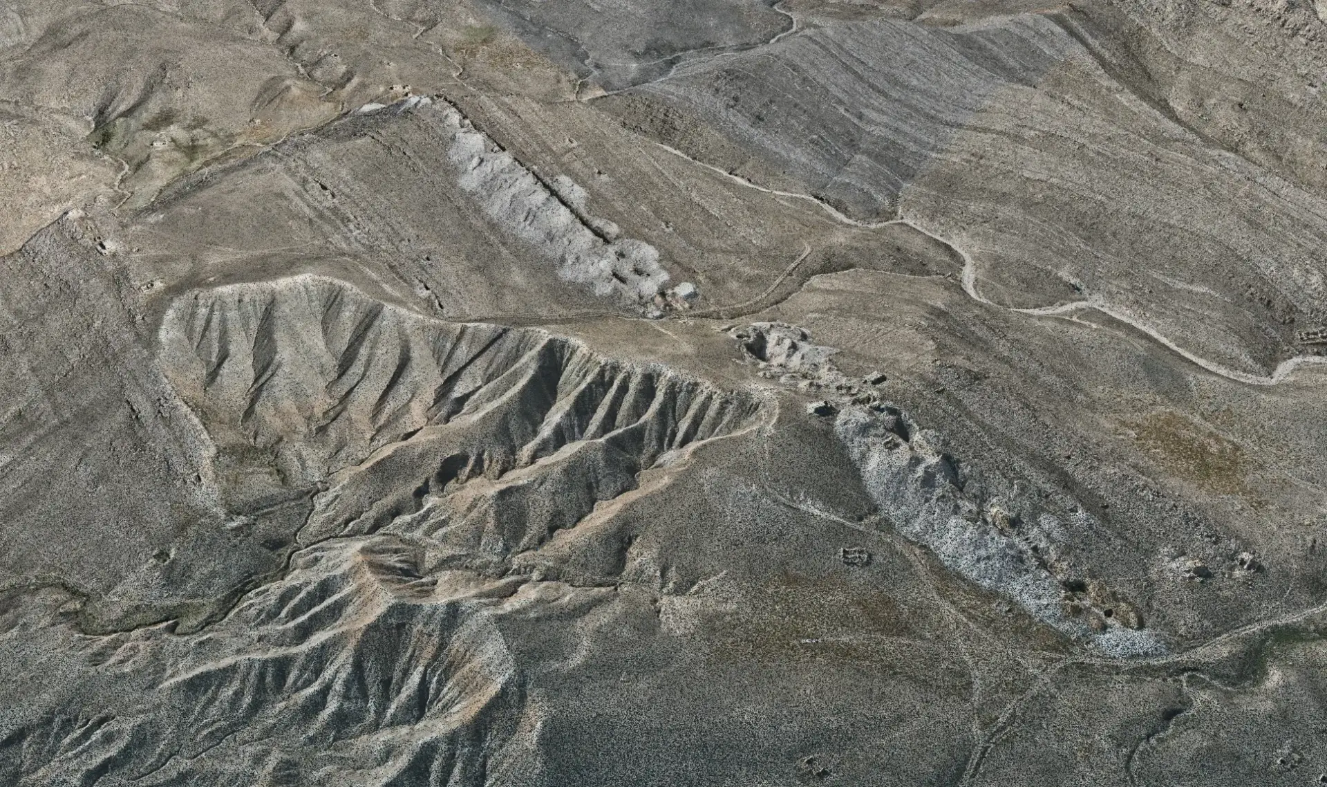
Professional drone mapping and photogrammetry software that processes aerial images and LiDAR data for topographic survey, corridor mapping, mining survey, construction monitoring and engineering deliverables.
Key features
- Orthomosaic maps
- 3D models
- DSM / DEM
- Contours
- Point clouds
Applications
- Topographic survey
- Corridor mapping
- Mining survey
- Construction monitoring
- Engineering deliverables
Have a project? Request a quote.
Tell us about the site, the scope and the deliverables you need. Our engineers will review it and prepare a proposal.