
Skip to content

این وب‌سایت به زبان دری هم در دسترس است.

به دری ببینید

دا ویب‌پاڼه په پښتو ژبه هم شته.

په پښتو یې وګورئ

Engineering services, from field survey to final report.

Delivering precision, innovation and excellence across engineering, surveying and geospatial solutions.

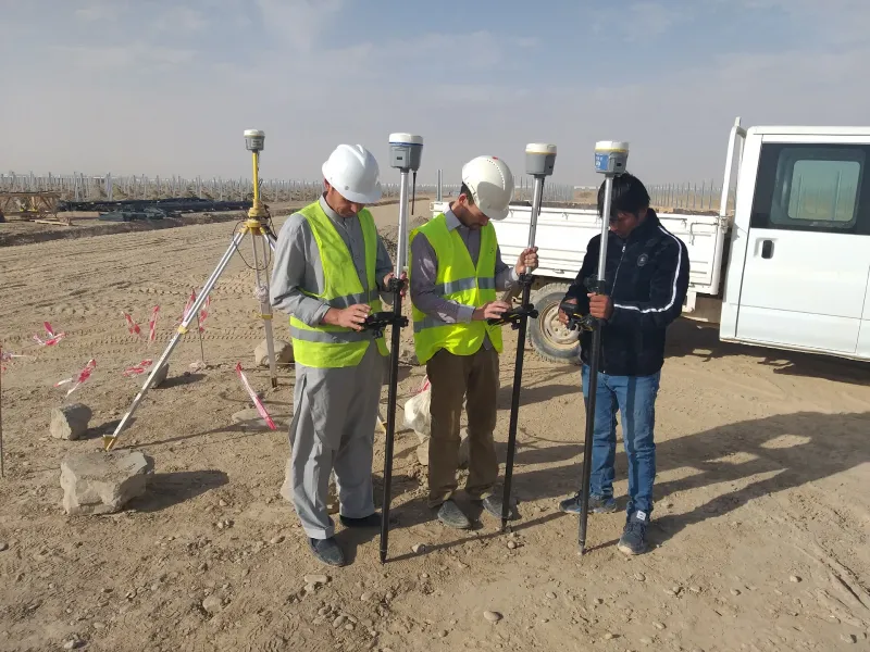
  • Engineering Surveying

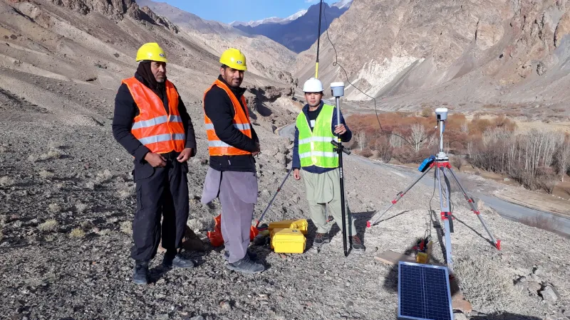
    Topographic surveys, route surveys, construction setting-out, control networks, benchmark establishment, cross-sections, as-built surveys and verification surveys.

    • Topographic surveys
    • Route surveys
    • Construction setting-out
    • Control networks

    Learn more

  • GIS, CAD & Reporting

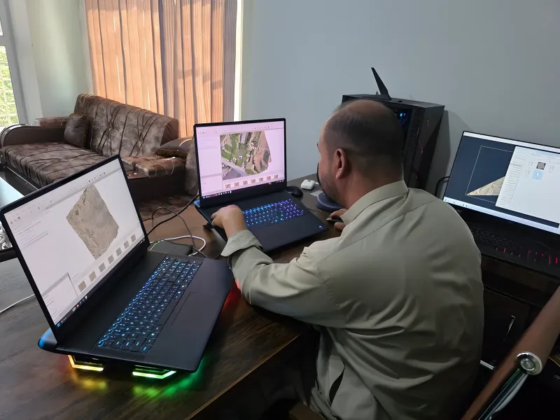
    GIS mapping, CAD drafting, georeferenced maps, technical reports, quantity support, survey reports and deliverable packages for clients and authorities.

    • GIS mapping
    • CAD drafting
    • Georeferenced maps
    • Technical reports

    Learn more

  • Asphalt Inspection

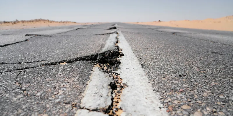
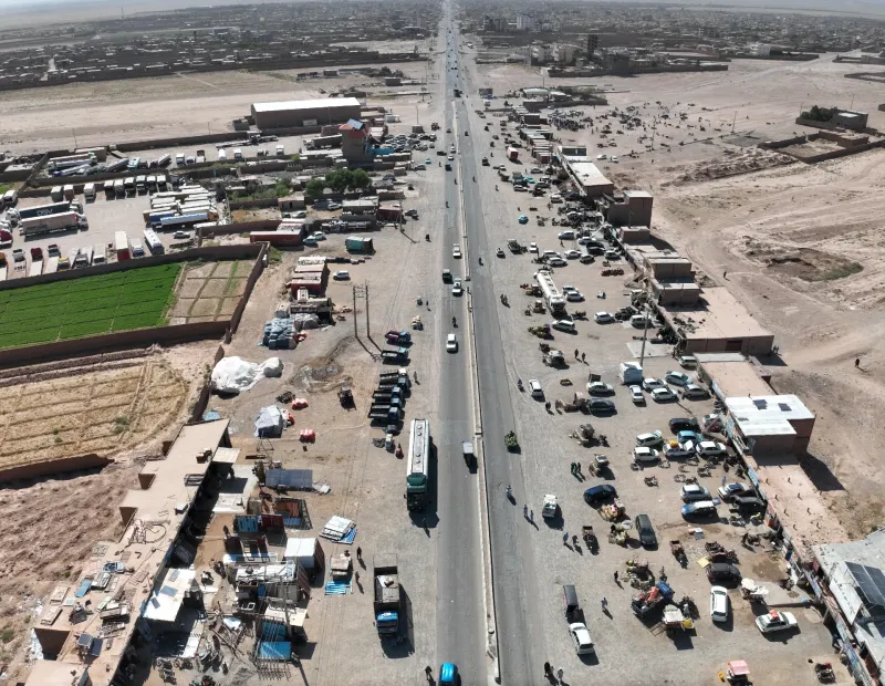
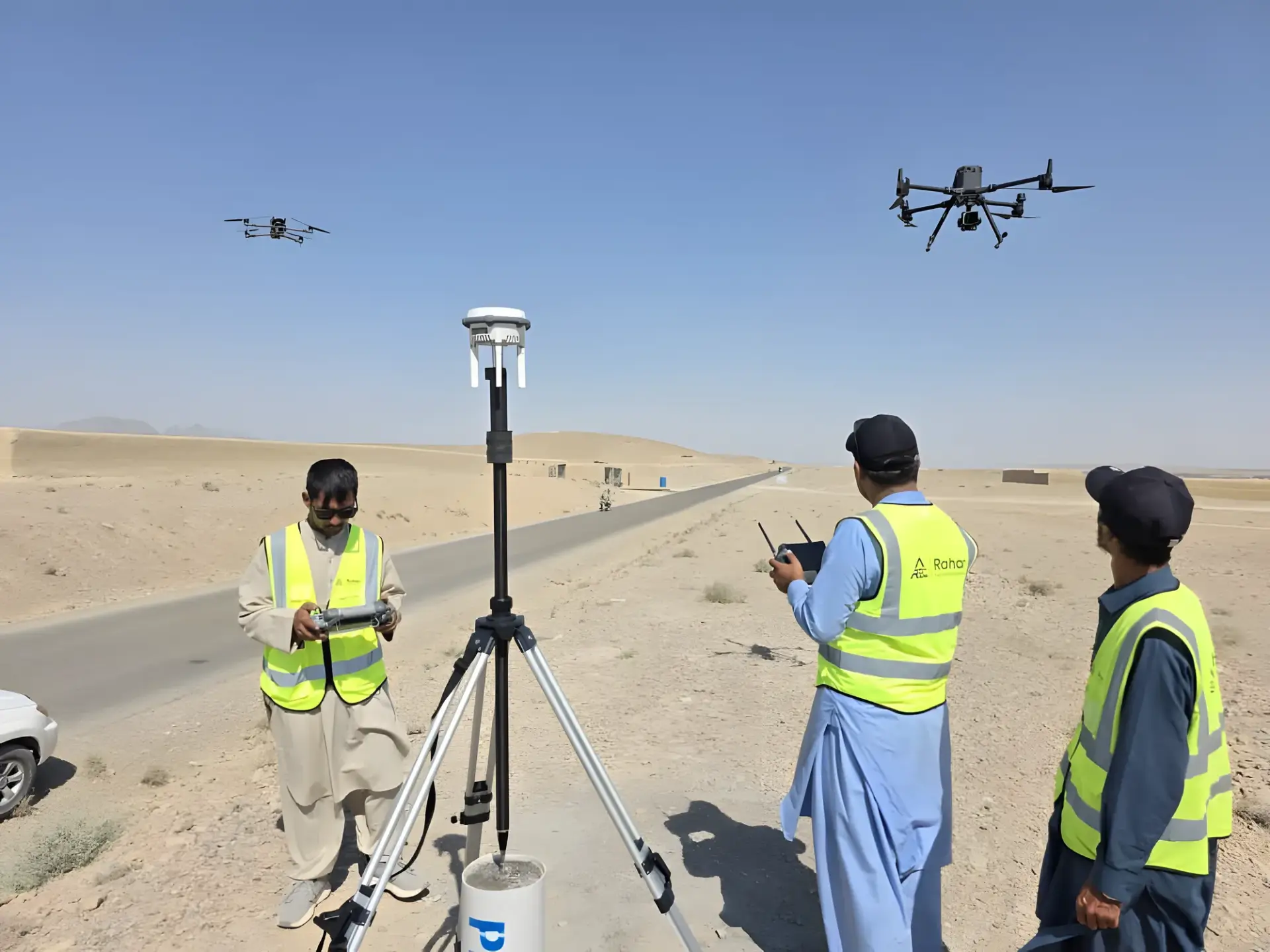
    UAV-based asphalt condition surveys, crack detection, surface distress mapping, reporting and maintenance planning.

    • UAV-based asphalt condition surveys
    • Crack detection
    • Surface distress mapping
    • Reporting

    Learn more

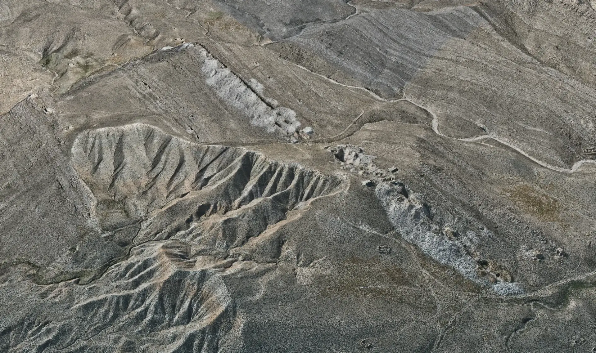
  • UAV Mapping & 3D Data

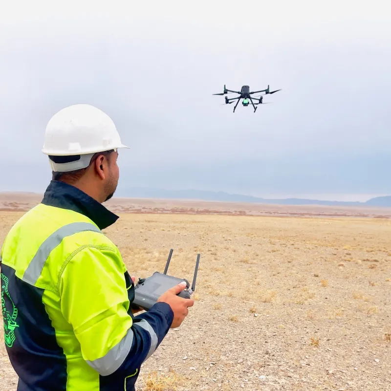
    Drone photogrammetry and LiDAR mapping, orthomosaic production, DEM/DSM, point clouds, 3D models, contour generation and site monitoring.

    • Drone photogrammetry
    • LiDAR mapping
    • Orthomosaic production
    • DEM/DSM

    Learn more

  • Mining Topography

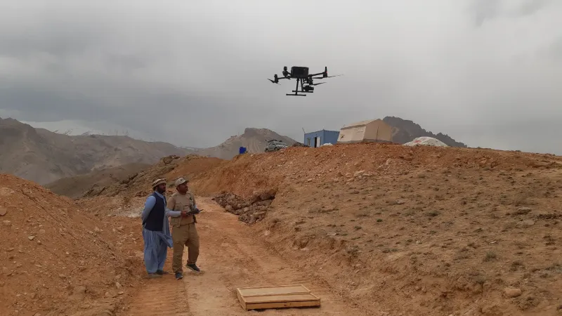
    High-accuracy topographic surveys for mining exploration and planning, stockpile volume calculation, terrain modelling and mine design support.

    • High-accuracy topographic surveys for mining exploration and planning
    • Stockpile volume calculation
    • Terrain modelling
    • Mine design support

    Learn more

  • Transportation Design

    Road geometry, railway corridor support, plan/profile drawings, alignments, cross-sections, earthwork data, drainage coordination and CAD-based design documentation.

    • Road geometry
    • Railway corridor support
    • Plan/profile drawings
    • Alignments

    Learn more

  • Project Support & Consulting

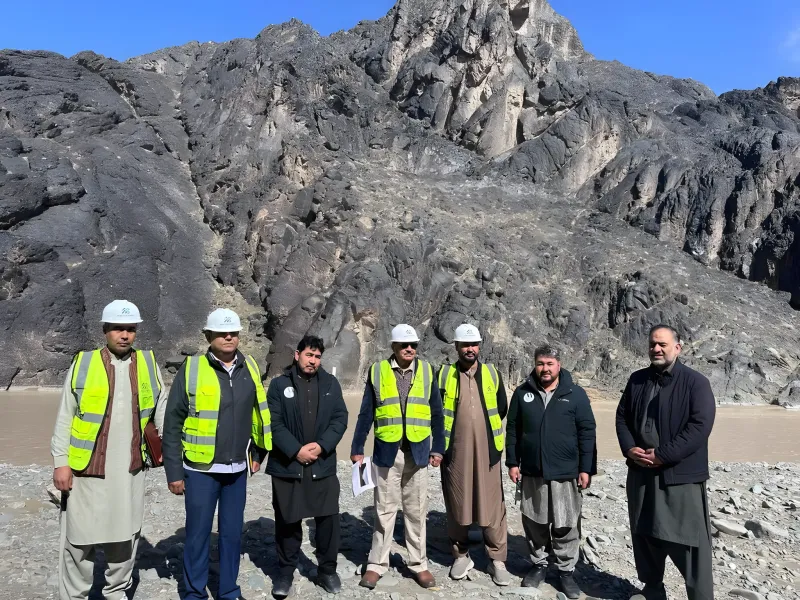
    Feasibility studies, route selection support, engineering consulting, QA/QC, project management support and technical advisory services.

    • Feasibility studies
    • Route selection support
    • Engineering consulting
    • QA/QC

    Learn more

  • Bridge Drone Inspection

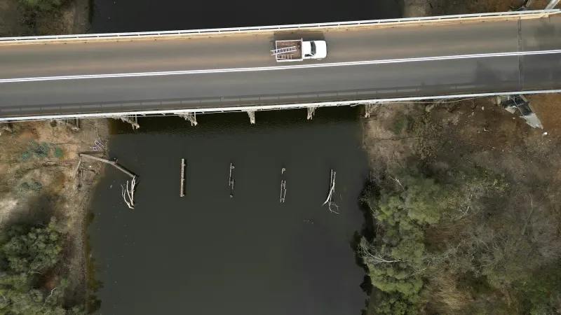
    Detailed drone inspections for bridges and structures, visual condition assessment, crack mapping, 3D modelling and inspection reporting.

    • Detailed drone inspections for bridges and structures
    • Visual condition assessment
    • Crack mapping
    • 3D modelling

    Learn more

  • Transmission Line

    UAV inspection and mapping of transmission lines, tower condition assessment, corridor mapping, clearance verification and asset management support.

    • UAV inspection and mapping of transmission lines
    • Tower condition assessment
    • Corridor mapping
    • Clearance verification

    Learn more

Have a project? Request a quote.

Tell us about the site, the scope and the deliverables you need. Our engineers will review it and prepare a proposal.