

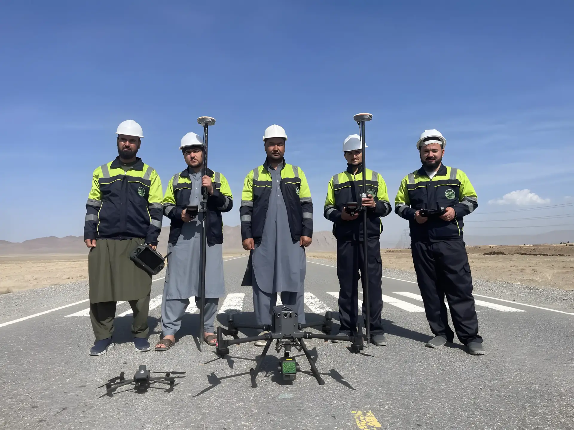
M. Nazar Jalily
Survey Department Director
Biography
Biography
M. Nazar Jalily (Muhammad Nazar Jalily) leads the Survey Department at Rahan Engineering Consulting Services Company, including UAV surveying and geospatial engineering. A civil and survey engineer with 17 years of experience, he has worked on topographic and engineering surveys, geodetic control networks, GNSS/RTK positioning and terrain modelling for roads, railways, dams, hydropower facilities, mining sites and urban infrastructure.
Since 2021 his work has expanded into UAV-based topographic surveying and the integration of aerial survey data with conventional ground surveys. He is highly proficient in AutoCAD Civil 3D, terrain analysis, earthwork calculations, profiles and cross-sections.
Specialties
- UAV surveying
- GNSS/RTK control
- Topographic mapping
- AutoCAD Civil 3D
- Terrain modelling
- Survey QA/QC
Education
-
B.Sc. Civil Engineering
Taxila, Pakistan · 2007
-
Diploma of Practical Survey
Hunar Naseer Global Engineering, Kabul
Career highlights
- Kajaki Dam Hydropower Project Phase II, Helmand (survey engineer)
- Dahla Dam Phase I Improvement Project, Kandahar
- 108 km Baharak–Eshkashim Road Project (road design engineer, consultant side)
- Kabul South West Distribution Project
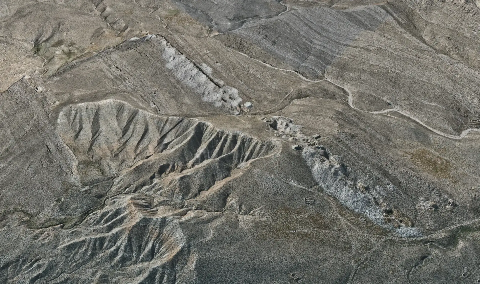
Have a project? Request a quote.
Tell us about the site, the scope and the deliverables you need. Our engineers will review it and prepare a proposal.