
 Roads
- Province
- Kandahar
- Year
- 2026
- Size
- 60 km
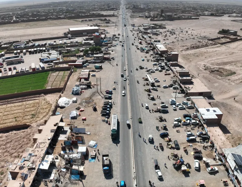
Survey and design of the second line of the Kandahar-Herat highway
View project Completed
این وبسایت به زبان دری هم در دسترس است.
به دری ببینیددا ویبپاڼه په پښتو ژبه هم شته.
په پښتو یې وګورئAbout the project
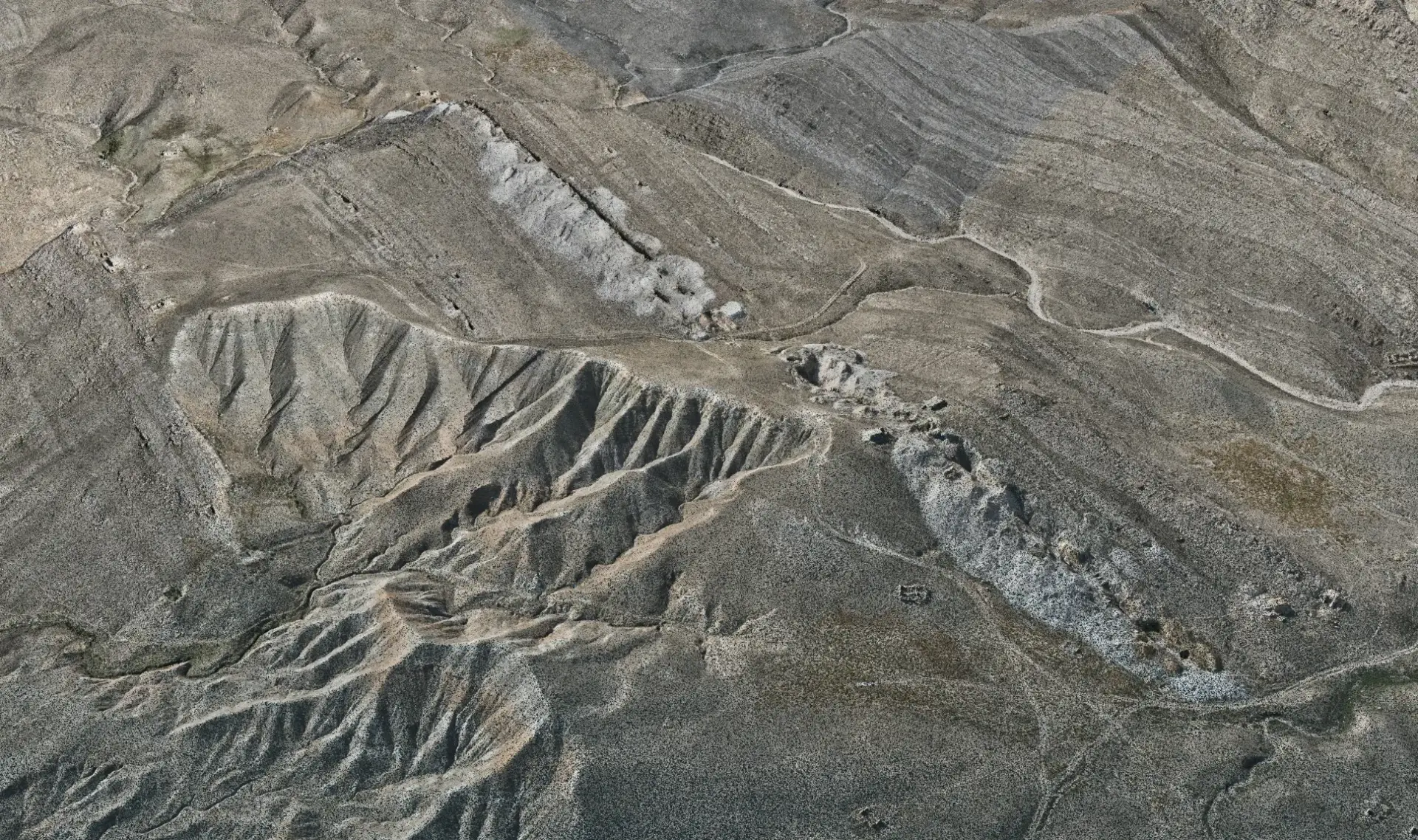
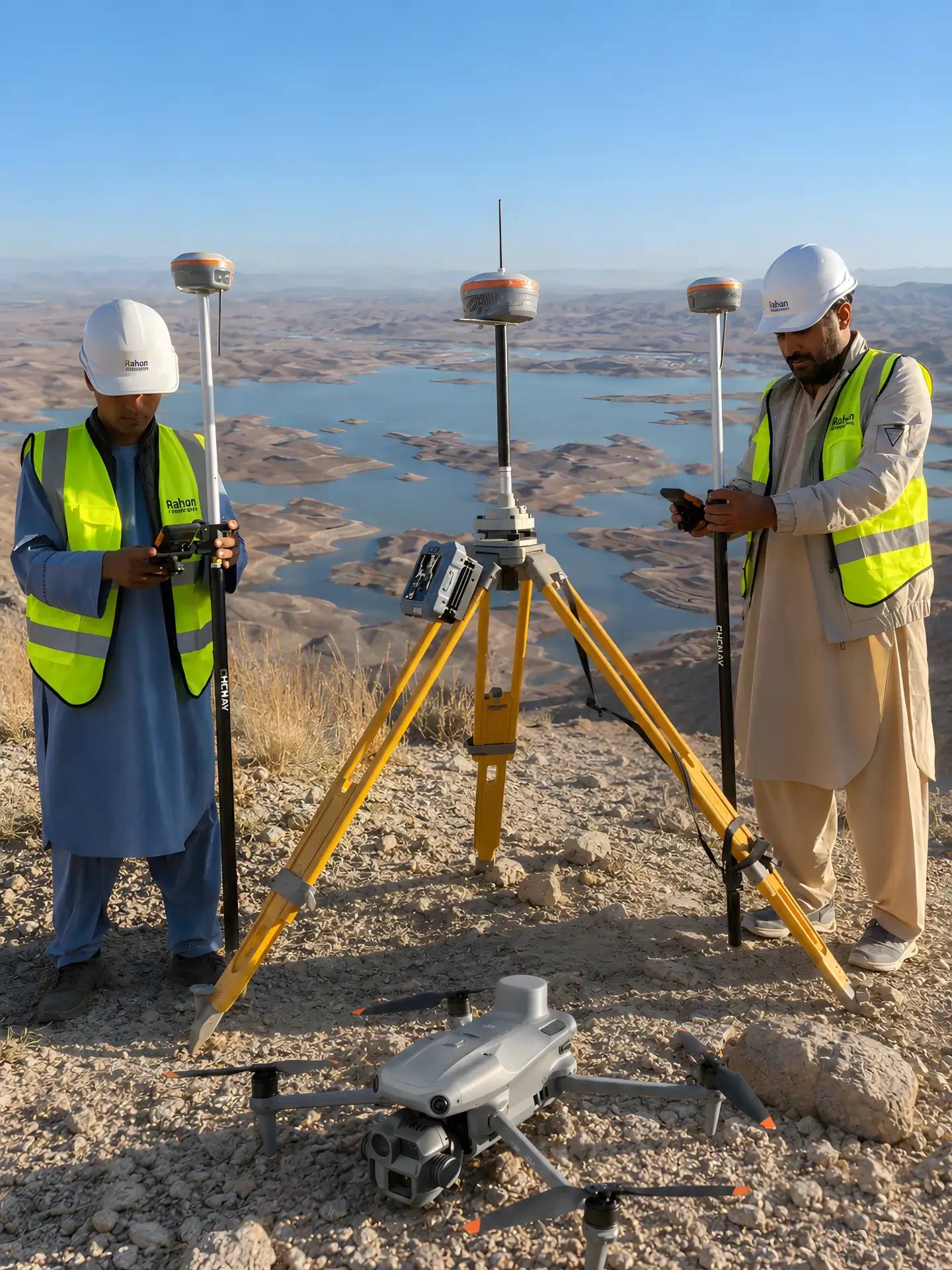
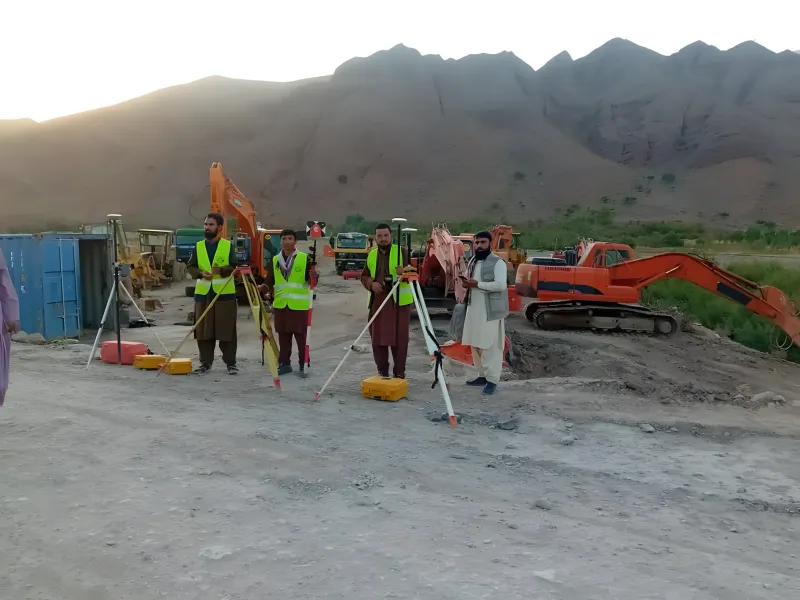
UAV RTK survey with GNSS control for the realignment of the Pashdan Dam road, including corridor mapping, a drainage and river survey and topographic mapping.
Experience
Roads
View project Completed
 Roads
 Roads
Tell us about the site, the scope and the deliverables you need. Our engineers will review it and prepare a proposal.