

 Mining
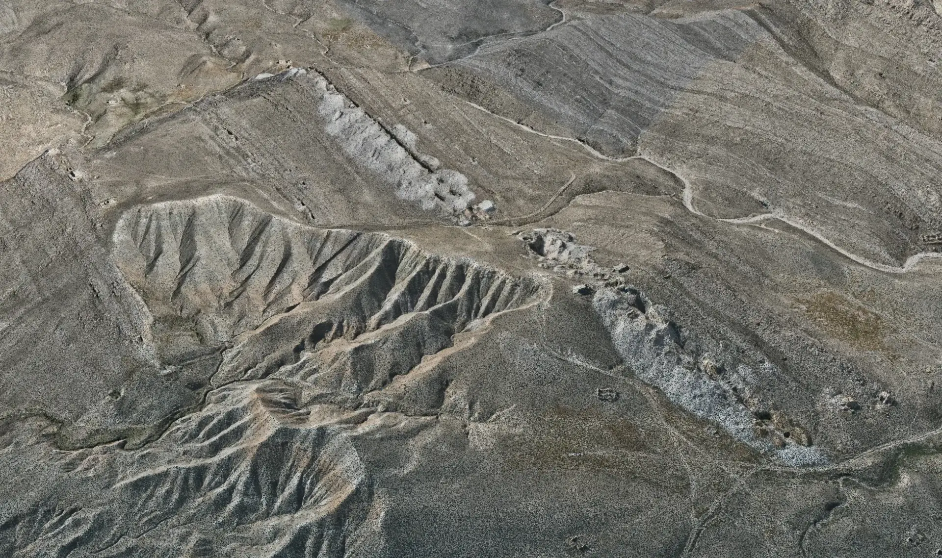
Sar-e-Dargashtak Mining Survey
- Mining
- Bamyan
About the project
About the project
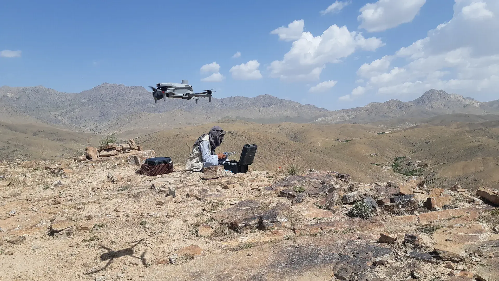
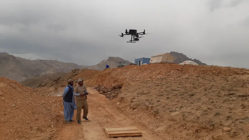
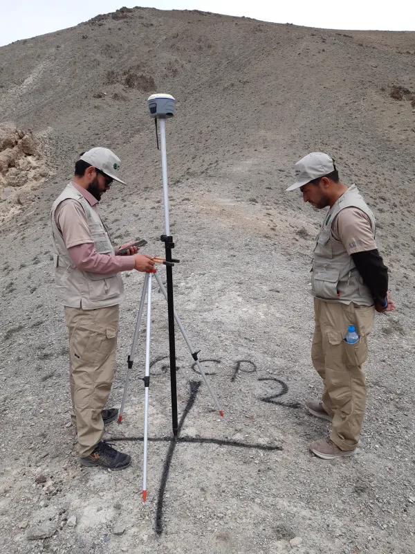
UAV topographic survey with GNSS control for the Sar-e-Dargashtak mining area, delivering an orthophoto, DEM and contour mapping.
Deliverables
- Orthophoto
- DEM
- Contour map
Experience
Related projects
-
Mining
 Mining
 Mining
- Province
- Bamyan
- Year
- 2026
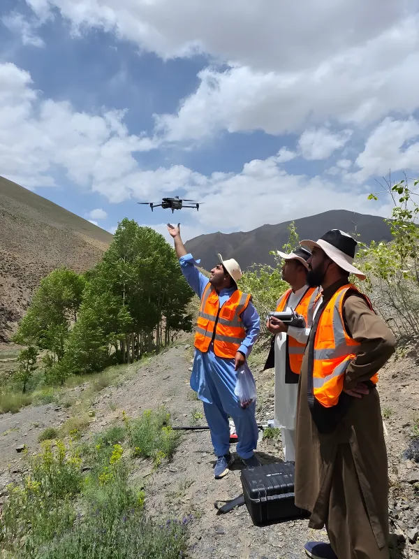
Guli–Palta–Chinar Lead & Zinc Mining Survey (Bamyan)
View project Completed
Have a project? Request a quote.
Tell us about the site, the scope and the deliverables you need. Our engineers will review it and prepare a proposal.